Geolocate

Crawford topographic map

Click on the map to display elevation.

About this map

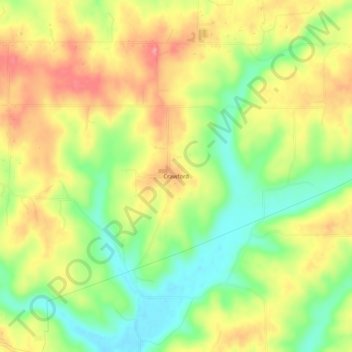
Name: Crawford topographic map, elevation, terrain.

Location: Crawford, Lawrence County, Indiana, United States (38.82588 -86.41721 38.86588 -86.37721)

Average elevation: 198 m

Minimum elevation: 150 m

Maximum elevation: 245 m

Gear up for your next adventure:

💡Solar Camping Lamp - Eco-friendly lighting for campsites
🎒Hiking Daypack - Lightweight and durable backpacks for day trips and excursions
💧Hydration Bladder - Hands-free hydration solution for long treks
🗺️Topographic Maps - Detailed maps to explore trails, mountains, and wilderness areas
🧥Thermal Layer - Insulating layer for cold outdoor conditions

As an Amazon Associate, this site earns from qualifying purchases at no extra cost to you.