Geolocate

Limchhod topographic map

Click on the map to display elevation.

About this map

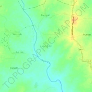
Name: Limchhod topographic map, elevation, terrain.

Location: Limchhod, Bheden, Bargarh, Odisha, India (21.23462 83.83548 21.27462 83.87548)

Average elevation: 139 m

Minimum elevation: 126 m

Maximum elevation: 158 m

Gear up for your next adventure:

👖Convertible Hiking Pants - Zip-off legs to adapt to changing weather conditions
🥾Approach Boots - Comfortable boots for hiking and climbing approaches
🧦Merino Wool Socks - Moisture-wicking comfort for long-distance hiking
🛏️Sleeping Bag - Warm and compact sleeping bags for outdoor camping
💧Hydration Bladder - Hands-free hydration solution for long treks

As an Amazon Associate, this site earns from qualifying purchases at no extra cost to you.