
Beaver Springs topographic map
Click on the map to display elevation.
About this map
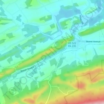
Name: Beaver Springs topographic map, elevation, terrain.
Average elevation: 223 m
Minimum elevation: 170 m
Maximum elevation: 404 m
Other topographic maps
Click on a map to view its topography, its elevation and its terrain.
Faylor Lake
United States > Pennsylvania > Snyder County > Spring Township > Beaver Springs
Average elevation: 197 m
Faylor Lake
United States > Pennsylvania > Snyder County > Spring Township > Beaver Springs
Average elevation: 197 m