
Kettle Moraine State Forest- Pike Lake Unit topographic map
Interactive map
Click on the map to display elevation.
About this map
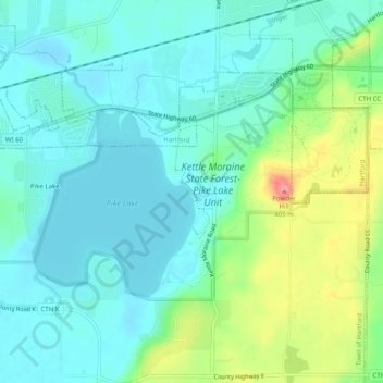
Name: Kettle Moraine State Forest- Pike Lake Unit topographic map, elevation, terrain.
Average elevation: 324 m
Minimum elevation: 300 m
Maximum elevation: 395 m