Geolocate

Calseca topographic map

Click on the map to display elevation.

About this map

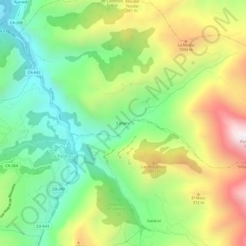
Name: Calseca topographic map, elevation, terrain.

Location: Calseca, Ruesga, Asón-Agüera, Cantabria, 39728, España (43.22070 -3.70934 43.26070 -3.66934)

Average elevation: 724 m

Minimum elevation: 289 m

Maximum elevation: 1,382 m

Gear up for your next adventure:

🧴Waterproofing Spray - Restore the DWR coating on jackets and tents
Lightweight Camping Tent - Portable shelter optimized for Canadian backcountry camping
🔋Lithium AA Batteries - Long-lasting power that performs in extreme cold
🥾Lightweight Hiking Shoes - Comfortable shoes for day hikes
🧤Insulated Winter Gloves - Heavy-duty protection for sub-zero Canadian adventures

As an Amazon Associate, this site earns from qualifying purchases at no extra cost to you.