
渡良瀬川 topographic map
Interactive map
Click on the map to display elevation.
About this map
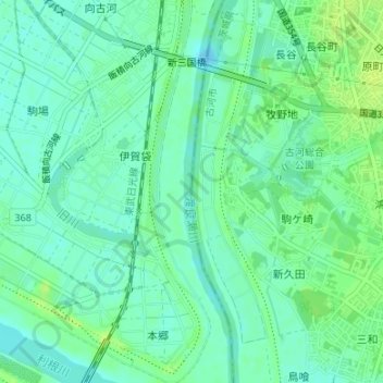
Name: 渡良瀬川 topographic map, elevation, terrain.
Location: 渡良瀬川, 伊賀袋, Kazo, Saitama Prefecture, 3050023, Japan (36.17525 139.69083 36.17526 139.69093)
Average elevation: 16 m
Minimum elevation: 9 m
Maximum elevation: 23 m
Other topographic maps
Click on a map to view its topography, its elevation and its terrain.