
Brouch topographic map
Interactive map
Click on the map to display elevation.
About this map
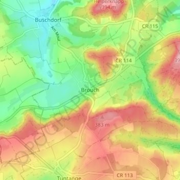
Name: Brouch topographic map, elevation, terrain.
Location: Brouch, Helperknapp, Canton Mersch, 7416, Luxembourg (49.71531 6.00100 49.75531 6.04100)
Average elevation: 324 m
Minimum elevation: 255 m
Maximum elevation: 399 m