
Weroth topographic map
Interactive map
Click on the map to display elevation.
About this map
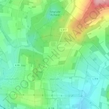
Name: Weroth topographic map, elevation, terrain.
Location: Weroth, Wallmerod, Westerwaldkreis, Rheinland-Pfalz, Deutschland (50.45461 7.94010 50.47642 7.96202)
Average elevation: 301 m
Minimum elevation: 249 m
Maximum elevation: 410 m