
Derryoober West topographic map
Interactive map
Click on the map to display elevation.
About this map
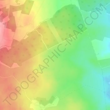
Name: Derryoober West topographic map, elevation, terrain.
Average elevation: 100 m
Minimum elevation: 49 m
Maximum elevation: 151 m
Other topographic maps
Click on a map to view its topography, its elevation and its terrain.
Galway
Irlanda > County Galway > Galway
Galway, County Galway, Connacht, Irlanda
Average elevation: 16 m