Geolocate

Sarala topographic map

Click on the map to display elevation.

About this map

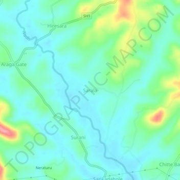
Name: Sarala topographic map, elevation, terrain.

Location: Sarala, Tirthahalli taluk, Shimoga, Karnataka, India (13.71508 75.20460 13.75508 75.24460)

Average elevation: 632 m

Minimum elevation: 605 m

Maximum elevation: 718 m

Gear up for your next adventure:

🚲Bike Repair Kit - Essential tools for on-trail mechanical issues
Camping Groundsheet - Protect your tent from moisture and dirt
🔨Vehicle Emergency Tool - Safety tool for remote road trips to trailheads
💡Compact LED Flashlight - Powerful and portable flashlight for outdoor use
🎒Backpack Rain Cover - External shield to keep your entire pack dry

As an Amazon Associate, this site earns from qualifying purchases at no extra cost to you.