
Whitehall topographic map
Click on the map to display elevation.
About this map
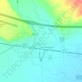
Name: Whitehall topographic map, elevation, terrain.
Location: Whitehall, Jefferson County, Montana, United States (45.86543 -112.10952 45.87810 -112.08508)
Average elevation: 1,336 m
Minimum elevation: 1,320 m
Maximum elevation: 1,386 m