Geolocate

Miega topographic map

Click on the map to display elevation.

About this map

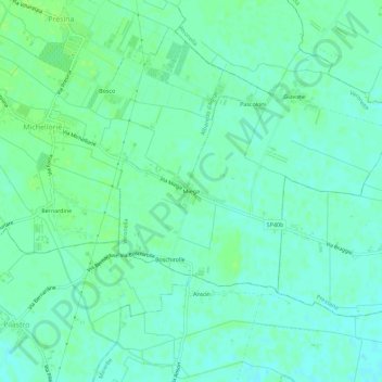
Name: Miega topographic map, elevation, terrain.

Location: Miega, Veronella, Verona, Veneto, 37040, Italy (45.25992 11.30610 45.29992 11.34610)

Average elevation: 19 m

Minimum elevation: 14 m

Maximum elevation: 23 m

Gear up for your next adventure:

Family Camping Tent - Spacious tent suitable for family camping trips
🥾Hiking Shoes - Durable and comfortable shoes for trail hiking
🕯️Camping Lantern - Illuminates your entire campsite with high-efficiency LEDs
Tent Footprint - Protect tent floor and increase durability
🥾Waterproof Hiking Boots - Boots keeping your feet dry in wet conditions

As an Amazon Associate, this site earns from qualifying purchases at no extra cost to you.