Geolocate

Matuber topographic map

Click on the map to display elevation.

About this map
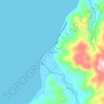
Name: Matuber topographic map, elevation, terrain.

Location: Matuber, Maguindanao del Norte, Bangsamoro, Philippines (7.08915 124.02151 7.12915 124.06151)

Average elevation: 73 m

Minimum elevation: -1 m

Maximum elevation: 458 m

Gear up for your next adventure:

🧊Portable Cooler - Keep food and drinks cold during outdoor adventures
🦯Trekking Poles - Reduced impact on joints for steep topographic climbs
👟Trail Running Shoes - Agile footwear for fast-paced topographic exploration
💧Filtered Water Bottle - Safe drinking water on the go
🧰Survival Kit - Essential gear for emergencies in the wilderness

As an Amazon Associate, this site earns from qualifying purchases at no extra cost to you.