Geolocate

Hitt topographic map

Click on the map to display elevation.

About this map

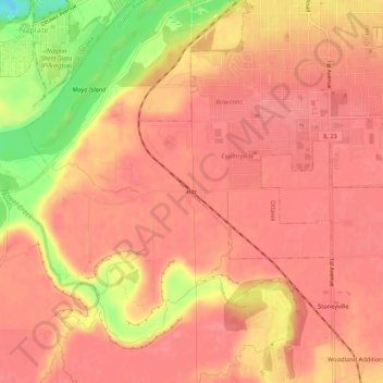
Name: Hitt topographic map, elevation, terrain.

Location: Hitt, Ottawa, LaSalle County, Illinois, 61350, United States (41.29670 -88.87619 41.33670 -88.83619)

Average elevation: 174 m

Minimum elevation: 115 m

Maximum elevation: 191 m

Gear up for your next adventure:

🎒Fully Waterproof Backpack - Total protection for photography gear and electronics
🛶Kayak Accessories - Essential gear for safe and fun kayaking adventures
🔦UV Flashlight - Detect minerals or specific insects in the dark
💧Filtered Water Bottle - Safe drinking water on the go
🎒Backpack Rain Cover - External shield to keep your entire pack dry

As an Amazon Associate, this site earns from qualifying purchases at no extra cost to you.