Geolocate

Cerro Blanco topographic map

Click on the map to display elevation.

About this map

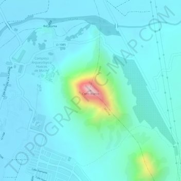
Name: Cerro Blanco topographic map, elevation, terrain.

Location: Cerro Blanco, Laredo, Trujillo, La Libertad, 13600, Perú (-8.13707 -78.98426 -8.13697 -78.98416)

Average elevation: 71 m

Minimum elevation: 23 m

Maximum elevation: 369 m

Other topographic maps

Click on a map to view its topography, its elevation and its terrain.

Laguna de Conache

Perú > La Libertad > Laredo

Average elevation: 94 m

Gear up for your next adventure:

🧴First Aid Kit - Essential first aid supplies for outdoor emergencies
🦯Trekking Poles - Reduced impact on joints for steep topographic climbs
🏕️Camping Hammock - Integrated protection for sleeping between trees
🧊Portable Cooler - Keep food and drinks cold during outdoor adventures
🔋Solar Power Bank - Keep your GPS and devices charged during long outdoor trips

As an Amazon Associate, this site earns from qualifying purchases at no extra cost to you.