Geolocate

Douglas topographic map

Click on the map to display elevation.

About this map

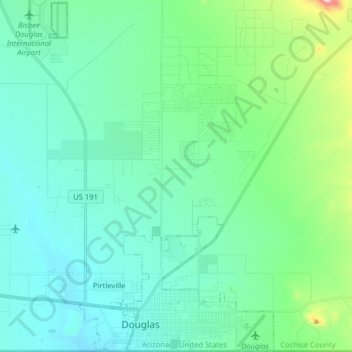
Name: Douglas topographic map, elevation, terrain.

Location: Douglas, Cochise County, Arizona, United States (31.33399 -109.59558 31.46829 -109.49448)

Average elevation: 1,265 m

Minimum elevation: 1,191 m

Maximum elevation: 1,543 m

Gear up for your next adventure:

🛶Kayak Dry Bag - Waterproof storage for kayaking adventures
🗺️Topographic Maps - Detailed maps to explore trails, mountains, and wilderness areas
💡Portable Camping Lamp - Rechargeable lamp for campsite lighting
🧥Thermal Layer - Insulating layer for cold outdoor conditions
🔦UV Flashlight - Detect minerals or specific insects in the dark

As an Amazon Associate, this site earns from qualifying purchases at no extra cost to you.