
Make a donation
Gear up for your next adventure:
As an Amazon Associate, this site earns from qualifying purchases at no extra cost to you.
Bornstal topographic map
Click on the map to display elevation.
Make a donation
Gear up for your next adventure:
As an Amazon Associate, this site earns from qualifying purchases at no extra cost to you.
About this map
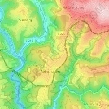
Name: Bornstal topographic map, elevation, terrain.
Average elevation: 220 m
Minimum elevation: 100 m
Maximum elevation: 371 m
Make a donation
Gear up for your next adventure:
As an Amazon Associate, this site earns from qualifying purchases at no extra cost to you.
Other topographic maps
Click on a map to view its topography, its elevation and its terrain.
Unteres Morsbachtal mit Hölterfelder Siefen und Fürberger Bachtal
Deutschland > Nordrhein-Westfalen > Remscheid > Aue
Average elevation: 215 m
Gemarkung Bergisch Born
Deutschland > Nordrhein-Westfalen > Remscheid
Mit der Herrichtung der Höhenstraße zwischen Wermelskirchen und Lennep (heutige B 51) und der Anlage der Landstraße über Hückeswagen nach Siegen (heutige B 237) in den Jahren 1773–78 entwickelte sich der nahegelegene Hof „Born“ zum Siedlungsschwerpunkt und die bauliche Tätigkeit konzentrierte sich…
Average elevation: 309 m
Make a donation
Gear up for your next adventure:
As an Amazon Associate, this site earns from qualifying purchases at no extra cost to you.