

Mount Ararat topographic map
Click on the map to display elevation.
Mount Ararat
Mount Ararat, officially Mount Ağrı, also known as Masis, is a snow- capped and dormant compound volcano in easternmost Turkey. It consists of two major volcanic cones: Greater Ararat and Little Ararat. Greater Ararat is the highest peak in Turkey and the Armenian highlands with an elevation of 5,137 m (16,854 ft); Little Ararat's elevation is 3,896 m (12,782 ft). The Ararat massif is about 35 km (22 mi) wide at ground base. The first recorded efforts to reach Ararat's summit were made in the Middle Ages, and Friedrich Parrot, Khachatur Abovian, and four others made the first recorded ascent in 1829.
About this map
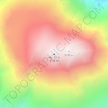
Name: Mount Ararat topographic map, elevation, terrain.
Location: Mount Ararat, Iğdır, Eastern Anatolia Region, Turkey (39.70188 44.29835 39.70198 44.29845)
Average elevation: 4,582 m
Minimum elevation: 3,780 m
Maximum elevation: 5,111 m