Geolocate

Chatru topographic map

Click on the map to display elevation.

About this map

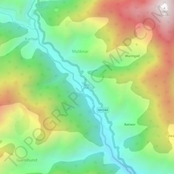
Name: Chatru topographic map, elevation, terrain.

Location: Chatru, Chhatroo, Kishtwar district, Jammu and Kashmir, India (33.40499 75.59753 33.44499 75.63753)

Average elevation: 1,891 m

Minimum elevation: 1,349 m

Maximum elevation: 2,757 m

Gear up for your next adventure:

🧣Merino Neck Gaiter - Protects against wind, sun, and cold at high altitudes
🥾Trail Hiking Shoes - Durable shoes designed for rugged trails
Camping Coffee Maker - Brew fresh coffee anywhere on the topographic map
🧴Outdoor Sunscreen - High SPF protection for high-altitude UV exposure
🧴First Aid Kit - Essential first aid supplies for outdoor emergencies

As an Amazon Associate, this site earns from qualifying purchases at no extra cost to you.