Geolocate

Froi - Froia topographic map

Click on the map to display elevation.

About this map

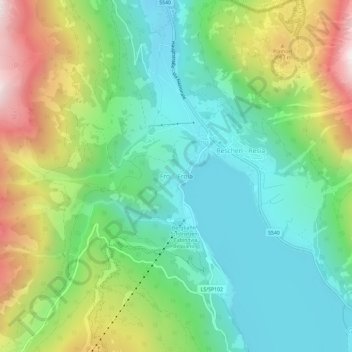
Name: Froi - Froia topographic map, elevation, terrain.

Location: Froi - Froia, Graun - Curon Venosta, Vinschgau - Val Venosta, South Tyrol, Trentino – Alto Adige/Südtirol, 39027, Italy (46.80671 10.48761 46.84671 10.52761)

Average elevation: 1,785 m

Minimum elevation: 1,456 m

Maximum elevation: 2,441 m

Other topographic maps

Click on a map to view its topography, its elevation and its terrain.

Gear up for your next adventure:

🥾All-Terrain Hiking Boots - Versatile boots for varied hiking conditions
🧭GPS Tracker - Track your location in remote areas safely
🥾Light Trekking Boots - Supportive boots for multi-day treks
🦶Hiking Shoe Insoles - Added support for high arches and long days on feet
🔭Compact Monocular - One-handed bird watching and trail spotting

As an Amazon Associate, this site earns from qualifying purchases at no extra cost to you.