Geolocate

Ferriata topographic map

Click on the map to display elevation.

About this map

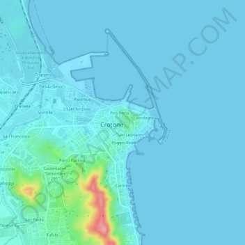
Name: Ferriata topographic map, elevation, terrain.

Location: Ferriata, Crotone, Calabria, 88048, Italy (39.06095 17.10946 39.10095 17.14946)

Average elevation: 10 m

Minimum elevation: -4 m

Maximum elevation: 125 m

Gear up for your next adventure:

Camping Tent - Weather-resistant tents suitable for 2 to 6 people
🥾Waterproof Hiking Boots - Essential footwear for rugged terrain and wet Canadian trails
🧥Waterproof Pants - Keep dry during rainy hiking conditions
🧊Portable Cooler - Keep food and drinks cold during outdoor adventures
🧤Rechargeable Heated Gloves - Extreme warmth for Canadian winter expeditions

As an Amazon Associate, this site earns from qualifying purchases at no extra cost to you.