Geolocate

Isla Aguada topographic map

Click on the map to display elevation.

About this map

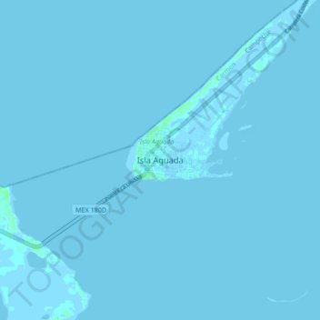
Name: Isla Aguada topographic map, elevation, terrain.

Location: Isla Aguada, Carmen, Campeche, 24327, Mexico (18.74648 -91.53145 18.82648 -91.45145)

Average elevation: 0 m

Minimum elevation: -2 m

Maximum elevation: 6 m

Gear up for your next adventure:

🦯Trekking Poles - Reduced impact on joints for steep topographic climbs
🛶Kayak Accessories - Essential gear for safe and fun kayaking adventures
🛏️Sleeping Bag - Warm and compact sleeping bags for outdoor camping
🧣Merino Neck Gaiter - Protects against wind, sun, and cold at high altitudes
🪑Insulated Seat Pad - Protect your seat from cold rocks and wet logs

As an Amazon Associate, this site earns from qualifying purchases at no extra cost to you.