Geolocate

Caldong topographic map

Click on the map to display elevation.

About this map

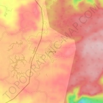
Name: Caldong topographic map, elevation, terrain.

Location: Caldong, Sampaloc, Quezon, Calabarzon, Philippines (14.21088 121.60417 14.25088 121.64417)

Average elevation: 468 m

Minimum elevation: 311 m

Maximum elevation: 519 m

Gear up for your next adventure:

🛶Canoe Life Vest - Safety vest for water sports
🧥Softshell Hiking Jacket - The perfect balance of wind protection and breathability
🥫Freeze-Dried Meals - Lightweight, high-calorie nutrition for multi-day treks
🥾Mountain Hiking Boots - High-traction boots for rocky terrain
🎒Backpack Rain Cover - External shield to keep your entire pack dry

As an Amazon Associate, this site earns from qualifying purchases at no extra cost to you.