
Skyu topographic map
Interactive map
Click on the map to display elevation.
About this map
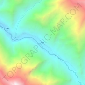
Name: Skyu topographic map, elevation, terrain.
Location: Skyu, Leh Tehsil, Leh District, Ladakh, India (33.95689 77.25658 33.99689 77.29658)
Average elevation: 3,847 m
Minimum elevation: 3,313 m
Maximum elevation: 4,962 m
Other topographic maps
Click on a map to view its topography, its elevation and its terrain.
Leh
India > Ladakh > Leh Tehsil
Leh, Leh Tehsil, Leh District, Ladakh, India
Average elevation: 3,653 m