
Rampura topographic map
Interactive map
Click on the map to display elevation.
About this map
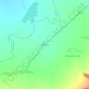
Name: Rampura topographic map, elevation, terrain.
Location: Rampura, Nahavi tanda, Soegaon, Aurangabad, Maharashtra, India (20.52630 75.50127 20.56630 75.54127)
Average elevation: 350 m
Minimum elevation: 321 m
Maximum elevation: 424 m