

Arambagh topographic map
Click on the map to display elevation.
Arambagh
Arambagh is located at 22°53′N 87°47′E / 22.88°N 87.78°E / 22.88; 87.78. It has an average elevation of 15 metres (118 feet). The town is situated on the link Road (state highway-2) 81Km north-west of Kolkata, 27 Km north-west of Tarakeswar, 39 Km south-east of Bardhaman. It is located on the bank of the Dwarakeswar River.
About this map
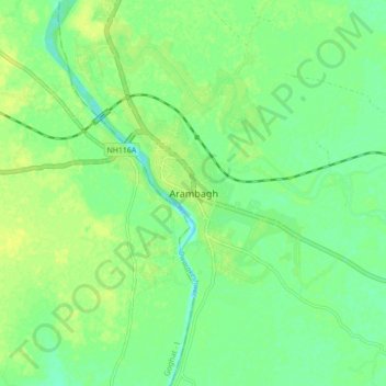
Name: Arambagh topographic map, elevation, terrain.
Location: Arambagh, Arambag, Hooghly, West Bengal, 712600, India (22.83659 87.75086 22.91659 87.83086)
Average elevation: 17 m
Minimum elevation: 8 m
Maximum elevation: 25 m