
Thank you for supporting this site ❤️
Make a donation
Make a donation
Gear up for your next adventure:
As an Amazon Associate, this site earns from qualifying purchases at no extra cost to you.
Roja topographic map
Click on the map to display elevation.
Thank you for supporting this site ❤️
Make a donation
Make a donation
Gear up for your next adventure:
As an Amazon Associate, this site earns from qualifying purchases at no extra cost to you.
About this map
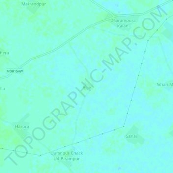
Name: Roja topographic map, elevation, terrain.
Location: Roja, Bilari, Moradabad, Uttar Pradesh, 202411, Inde (28.60981 78.82776 28.64981 78.86776)
Average elevation: 192 m
Minimum elevation: 189 m
Maximum elevation: 194 m
Thank you for supporting this site ❤️
Make a donation
Make a donation
Gear up for your next adventure:
As an Amazon Associate, this site earns from qualifying purchases at no extra cost to you.