
Rogue River topographic map
Click on the map to display elevation.
About this map
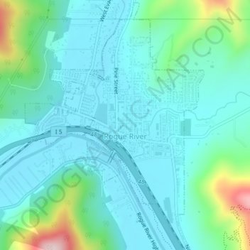
Name: Rogue River topographic map, elevation, terrain.
Location: Rogue River, Jackson County, Oregon, 97537, United States (42.42141 -123.18348 42.44787 -123.15730)
Average elevation: 362 m
Minimum elevation: 295 m
Maximum elevation: 647 m
Other topographic maps
Click on a map to view its topography, its elevation and its terrain.
Mount McLoughlin
United States > Oregon > Jackson County
The major landmark for the Rogue River Valley, Mount McLoughlin reaches an elevation of 9,493 ft (2,893 m). The tallest volcano in between Mount Shasta — located 70 mi (110 km) to the south — and South Sister 120 miles (190 km) to the north, it lies in the Cascade Range, in the southern portion of the U.S.…
Average elevation: 2,296 m