
Make a donation
Gear up for your next adventure:
As an Amazon Associate, this site earns from qualifying purchases at no extra cost to you.
Motu Teiku topographic map
Click on the map to display elevation.
Make a donation
Gear up for your next adventure:
As an Amazon Associate, this site earns from qualifying purchases at no extra cost to you.
About this map
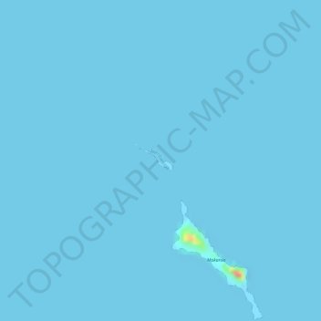
Name: Motu Teiku topographic map, elevation, terrain.
Average elevation: 0 m
Minimum elevation: 0 m
Maximum elevation: 53 m
Make a donation
Gear up for your next adventure:
As an Amazon Associate, this site earns from qualifying purchases at no extra cost to you.
Other topographic maps
Click on a map to view its topography, its elevation and its terrain.
Akamaru
France > French Polynesia > Gambier
Akamaru is the third largest island in the Gambier Islands of French Polynesia. It is a small, rocky island with an area of approximately 2.6 km2 (1.0 sq mi). The island is located approximately 7 km (4.3 mi) southeast of Mangareva. Its highest point rises to an elevation of 247 m (810 ft).
Average elevation: 15 m