Geolocate

Tambaur topographic map

Click on the map to display elevation.

About this map

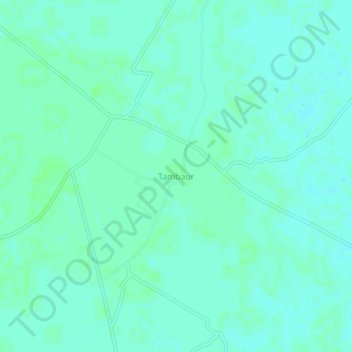
Name: Tambaur topographic map, elevation, terrain.

Location: Tambaur, Laharpur, Sitapur, Uttar Pradesh, 261208, India (27.71058 81.13819 27.75058 81.17819)

Average elevation: 124 m

Minimum elevation: 121 m

Maximum elevation: 127 m

Gear up for your next adventure:

🧤Insulated Winter Gloves - Heavy-duty protection for sub-zero Canadian adventures
🥾Waterproof Hiking Boots - Boots keeping your feet dry in wet conditions
🛌Insulated Sleeping Pad - Critical thermal barrier between you and the cold ground
🚲Bike Repair Kit - Essential tools for on-trail mechanical issues
🩹Moleskin Blister Pads - Direct protection for painful foot pressure points

As an Amazon Associate, this site earns from qualifying purchases at no extra cost to you.