
Make a donation
Gear up for your next adventure:
As an Amazon Associate, this site earns from qualifying purchases at no extra cost to you.
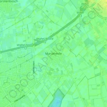
Mariaheide topographic map
Click on the map to display elevation.
Make a donation
Gear up for your next adventure:
As an Amazon Associate, this site earns from qualifying purchases at no extra cost to you.
Mariaheide
De ligging van Mariaheide is vanouds aan 'De Hintel'. Het gebied werd ook aangeduid als 'Aen die Heyde' of met 'Aen die Heyde in die Hijnteelt'. Bij de officiële parochiestichting werd het aangeduid als Maria-Heide, een naam die pastoor Van Haaren wel beviel. De naam Mariaheide komt echter pas in 1920 voor op kaarten van de Topografische dienst. In de volksmond blijft het dorp nog steeds 'De Hei' heten.
Make a donation
Gear up for your next adventure:
As an Amazon Associate, this site earns from qualifying purchases at no extra cost to you.
About this map
Name: Mariaheide topographic map, elevation, terrain.
Average elevation: 11 m
Minimum elevation: 4 m
Maximum elevation: 19 m
Make a donation
Gear up for your next adventure:
As an Amazon Associate, this site earns from qualifying purchases at no extra cost to you.