Geolocate

Griffin Gate topographic map

Click on the map to display elevation.

About this map

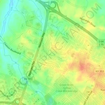
Name: Griffin Gate topographic map, elevation, terrain.

Location: Griffin Gate, Lexington, Fayette County, Kentucky, United States (38.08247 -84.48907 38.09355 -84.47869)

Average elevation: 291 m

Minimum elevation: 269 m

Maximum elevation: 311 m

Other topographic maps

Click on a map to view its topography, its elevation and its terrain.

Radcliffe

United States > Kentucky > Fayette County > Lexington

Average elevation: 298 m

Monticello

United States > Kentucky > Fayette County > Lexington

Average elevation: 302 m

Donerail

United States > Kentucky > Fayette County > Lexington

Average elevation: 270 m

Brookhaven

United States > Kentucky > Fayette County > Lexington

Average elevation: 307 m

Greendale

United States > Kentucky > Fayette County > Lexington

Average elevation: 284 m

Shadeland

United States > Kentucky > Fayette County > Lexington

Average elevation: 309 m

Fenwick

United States > Kentucky > Fayette County > Lexington

Average elevation: 293 m

Paynes

United States > Kentucky > Fayette County > Lexington

Average elevation: 289 m

Gear up for your next adventure:

💡LED Headlamp - Hands-free illumination for night hiking and camping
🧣Evaporative Cooling Towel - Beat the heat during intense summer climbs
🥾Mountaineering Boots - Supportive boots for climbing and high-altitude hiking
🥾Lightweight Hiking Shoes - Comfortable shoes for day hikes
👟Leg Gaiters - Keep debris, mud, and snow out of your boots

As an Amazon Associate, this site earns from qualifying purchases at no extra cost to you.