Geolocate

Maredumilli topographic map

Click on the map to display elevation.

About this map
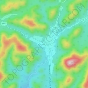
Name: Maredumilli topographic map, elevation, terrain.

Location: Maredumilli, Polavaram, Andhra Pradesh, 533295, India (17.57890 81.69210 17.61890 81.73210)

Average elevation: 490 m

Minimum elevation: 370 m

Maximum elevation: 761 m

Gear up for your next adventure:

🥾Waterproof Trail Shoes - Shoes designed to handle wet terrain
🚲Heavy Duty Bike Lock - Secure your bike at the trailhead or during stops
💧Hydration Pack - Hands-free hydration system for long hikes
🧥Softshell Jacket - Windproof and breathable jacket for hiking
🔭Outdoor Binoculars - Lightweight binoculars for birdwatching and hiking

As an Amazon Associate, this site earns from qualifying purchases at no extra cost to you.