Geolocate

Maredumilli topographic map

Click on the map to display elevation.

About this map
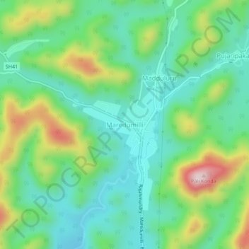
Name: Maredumilli topographic map, elevation, terrain.

Location: Maredumilli, Polavaram, Andhra Pradesh, 533295, India (17.57890 81.69210 17.61890 81.73210)

Average elevation: 490 m

Minimum elevation: 370 m

Maximum elevation: 761 m

Gear up for your next adventure:

🥾Lightweight Hiking Shoes - Comfortable shoes for day hikes
🧥Softshell Hiking Jacket - The perfect balance of wind protection and breathability
🧴Outdoor Sunscreen - High SPF protection for high-altitude UV exposure
🔥Emergency Fire Starter - Reliable ignition source for all weather conditions
🧦Outdoor Socks - Durable socks designed for hiking and outdoor sports

As an Amazon Associate, this site earns from qualifying purchases at no extra cost to you.