
Khe Sanh topographic map
Interactive map
Click on the map to display elevation.
About this map
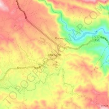
Name: Khe Sanh topographic map, elevation, terrain.
Location: Khe Sanh, Hướng Hóa District, Quang Tri province, Vietnam (16.58959 106.69768 16.66959 106.77768)
Average elevation: 386 m
Minimum elevation: 65 m
Maximum elevation: 666 m