
Vaso topographic map
Click on the map to display elevation.
About this map
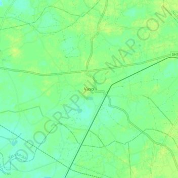
Name: Vaso topographic map, elevation, terrain.
Location: Vaso, Vaso Taluka, Kheda District, Gujarat, 387510, India (22.62096 72.71534 22.70096 72.79534)
Average elevation: 31 m
Minimum elevation: 24 m
Maximum elevation: 36 m