
Parker topographic map
Click on the map to display elevation.
About this map
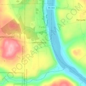
Name: Parker topographic map, elevation, terrain.
Location: Parker, Armstrong County, Pennsylvania, United States (41.07850 -79.69020 41.10328 -79.67350)
Average elevation: 323 m
Minimum elevation: 254 m
Maximum elevation: 407 m