Geolocate

Mandarmani topographic map

Click on the map to display elevation.

About this map

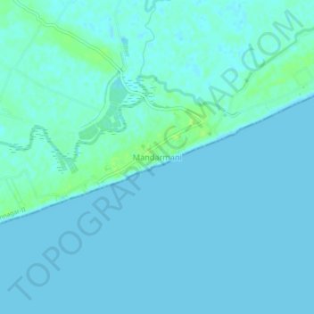
Name: Mandarmani topographic map, elevation, terrain.

Location: Mandarmani, Ramnagar-II, Purba Medinipur, West Bengal, India (21.64476 87.68534 21.68476 87.72534)

Average elevation: 2 m

Minimum elevation: 0 m

Maximum elevation: 12 m

Gear up for your next adventure:

🚲Bike Repair Kit - Essential tools for on-trail mechanical issues
💡LED Headlamp - Hands-free illumination for night hiking and camping
💧Hydration Bladder - Hands-free hydration solution for long treks
🧥Waterproof Pants - Keep dry during rainy hiking conditions
🥾Trail Hiking Socks - Comfortable socks to prevent blisters and fatigue

As an Amazon Associate, this site earns from qualifying purchases at no extra cost to you.