Geolocate

Sector 29 topographic map

Click on the map to display elevation.

About this map

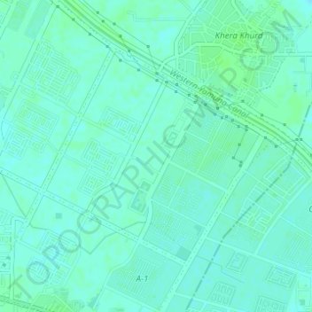
Name: Sector 29 topographic map, elevation, terrain.

Location: Sector 29, Rohini, Narela Tehsil, North Delhi, Delhi, India (28.75583 77.07899 28.77459 77.10198)

Average elevation: 217 m

Minimum elevation: 213 m

Maximum elevation: 221 m

Gear up for your next adventure:

🧥Packable Rain Jacket - Breathable waterproof layer for unpredictable weather
🚲MTB Frame Bag - Carry tools and maps directly on your bicycle frame
💧Collapsible Water Bottle - Space-saving water bottle for outdoor activities
🧦Crew Hiking Socks - Comfortable socks for long-distance hikes
🧢Hiking Hat - Sun-protective and breathable hats for long treks

As an Amazon Associate, this site earns from qualifying purchases at no extra cost to you.