Geolocate

Gilman topographic map

Click on the map to display elevation.

About this map

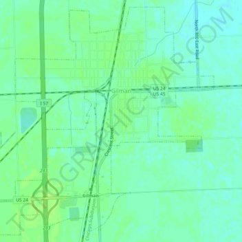
Name: Gilman topographic map, elevation, terrain.

Location: Gilman, Iroquois County, Illinois, United States (40.74618 -88.02021 40.77857 -87.97489)

Average elevation: 199 m

Minimum elevation: 193 m

Maximum elevation: 203 m

Other topographic maps

Click on a map to view its topography, its elevation and its terrain.

Papineau

United States > Illinois > Iroquois County

Average elevation: 192 m

Gear up for your next adventure:

Camping Essentials - All-in-one gear for a comfortable camping trip
🕶️Polarized Sunglasses - Reduces glare from snow and water at high elevations
🏕️Camping Hammock - Integrated protection for sleeping between trees
🥾Hiking Boots - Sturdy boots providing ankle support and traction on rugged trails
🥾Light Trekking Boots - Supportive boots for multi-day treks

As an Amazon Associate, this site earns from qualifying purchases at no extra cost to you.