
Thank you for supporting this site ❤️
Make a donation
Make a donation
Gear up for your next adventure:
As an Amazon Associate, this site earns from qualifying purchases at no extra cost to you.
Irubelakaskoa topographic map
Click on the map to display elevation.
Thank you for supporting this site ❤️
Make a donation
Make a donation
Gear up for your next adventure:
As an Amazon Associate, this site earns from qualifying purchases at no extra cost to you.
About this map
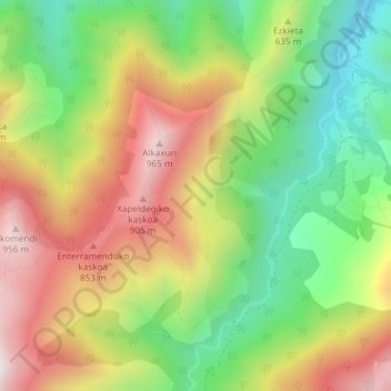
Name: Irubelakaskoa topographic map, elevation, terrain.
Location: Irubelakaskoa, Baztán, Baztan-Bidasoa, Navarra, 64250, España (43.22568 -1.41652 43.24568 -1.39652)
Average elevation: 554 m
Minimum elevation: 193 m
Maximum elevation: 968 m
Thank you for supporting this site ❤️
Make a donation
Make a donation
Gear up for your next adventure:
As an Amazon Associate, this site earns from qualifying purchases at no extra cost to you.