Geolocate

Giovo Ligure topographic map

Click on the map to display elevation.

About this map
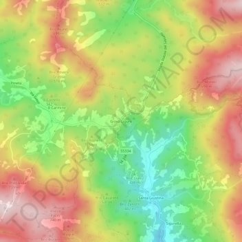
Name: Giovo Ligure topographic map, elevation, terrain.

Location: Giovo Ligure, Pontinvrea, Savona, Liguria, 17042, Italy (44.40998 8.45410 44.44998 8.49410)

Average elevation: 552 m

Minimum elevation: 322 m

Maximum elevation: 778 m

Gear up for your next adventure:

🧥Packable Rain Jacket - Breathable waterproof layer for unpredictable weather
🧴Outdoor Sunscreen - High SPF protection for high-altitude UV exposure
🥽Outdoor Goggles - Protective eyewear for outdoor activities
💧Collapsible Water Bottle - Space-saving water bottle for outdoor activities
💡LED Headlamp - Hands-free illumination for night hiking and camping

As an Amazon Associate, this site earns from qualifying purchases at no extra cost to you.