Geolocate

Battle Bluff topographic map

Click on the map to display elevation.

About this map

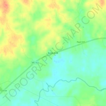
Name: Battle Bluff topographic map, elevation, terrain.

Location: Battle Bluff, Leake County, Mississippi, United States (32.76486 -89.43674 32.80486 -89.39674)

Average elevation: 122 m

Minimum elevation: 100 m

Maximum elevation: 152 m

Gear up for your next adventure:

🧥Ultralight Puffy Jacket - Maximum warmth that packs down to the size of an orange
🛏️Sleeping Bag - Warm and compact sleeping bags for outdoor camping
🧣Merino Neck Gaiter - Protects against wind, sun, and cold at high altitudes
💧Filtered Water Bottle - Safe drinking water on the go
🧰Emergency Multi-Tool - Compact multi-tool for outdoor survival

As an Amazon Associate, this site earns from qualifying purchases at no extra cost to you.