
Thank you for supporting this site ❤️
Make a donation
Make a donation
Gear up for your next adventure:
As an Amazon Associate, this site earns from qualifying purchases at no extra cost to you.
Zillergrund topographic map
Click on the map to display elevation.
Thank you for supporting this site ❤️
Make a donation
Make a donation
Gear up for your next adventure:
As an Amazon Associate, this site earns from qualifying purchases at no extra cost to you.
About this map
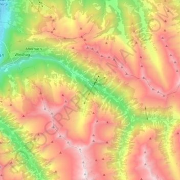
Name: Zillergrund topographic map, elevation, terrain.
Location: Zillergrund, Brandberg, Bezirk Schwaz, Tirol, Österreich (47.11937 11.86816 47.16544 12.05496)
Average elevation: 1,913 m
Minimum elevation: 587 m
Maximum elevation: 3,134 m
Thank you for supporting this site ❤️
Make a donation
Make a donation
Gear up for your next adventure:
As an Amazon Associate, this site earns from qualifying purchases at no extra cost to you.