
Feáns topographic map
Interactive map
Click on the map to display elevation.
About this map
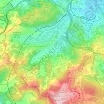
Name: Feáns topographic map, elevation, terrain.
Location: Feáns, A Coruña, Galicia, 15190, España (43.30278 -8.45126 43.34278 -8.41126)
Average elevation: 129 m
Minimum elevation: 15 m
Maximum elevation: 286 m