
Eureka topographic map
Click on the map to display elevation.
About this map
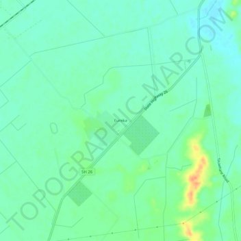
Name: Eureka topographic map, elevation, terrain.
Location: Eureka, Waikato District, Waikato, 3287, New Zealand (-37.75948 175.40677 -37.71948 175.44677)
Average elevation: 49 m
Minimum elevation: 36 m
Maximum elevation: 81 m