Geolocate

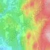
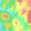
Northfield topographic map

Click on the map to display elevation.

About this map
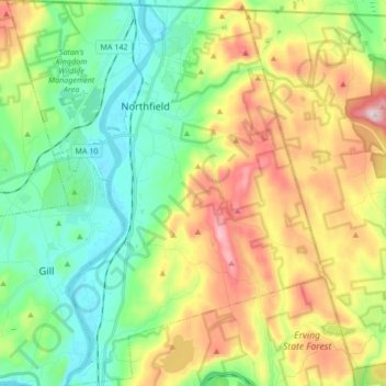
Name: Northfield topographic map, elevation, terrain.

Location: Northfield, Franklin County, Massachusetts, 01360, United States (42.60401 -72.51677 42.72860 -72.37712)

Average elevation: 197 m

Minimum elevation: 50 m

Maximum elevation: 453 m

Other topographic maps

Click on a map to view its topography, its elevation and its terrain.
Gear up for your next adventure:

🦶Hiking Shoe Insoles - Added support for high arches and long days on feet
🧤Insulated Winter Gloves - Heavy-duty protection for sub-zero Canadian adventures
🥘Camping Cookware Set - Compact nesting pots and pans for trail cooking
🧥Thermal Layer - Insulating layer for cold outdoor conditions
🥾Trail Hiking Shoes - Durable shoes designed for rugged trails

As an Amazon Associate, this site earns from qualifying purchases at no extra cost to you.