Geolocate

Darlipali topographic map

Click on the map to display elevation.

About this map

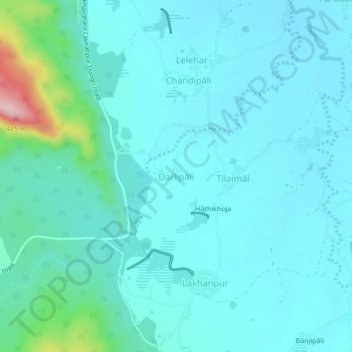
Name: Darlipali topographic map, elevation, terrain.

Location: Darlipali, Ambabhona, Bargarh District, Odisha, 768053, India (21.63315 83.58761 21.67315 83.62761)

Average elevation: 228 m

Minimum elevation: 194 m

Maximum elevation: 440 m

Other topographic maps

Click on a map to view its topography, its elevation and its terrain.

Bhat Bhicha Nadi

India > Odisha > Ambabhona

Average elevation: 261 m

Gear up for your next adventure:

🔦UV Flashlight - Detect minerals or specific insects in the dark
🧴Waterproofing Spray - Restore the DWR coating on jackets and tents
🥾Lightweight Hiking Shoes - Comfortable shoes for day hikes
Bushcraft Tarp - Versatile emergency shelter or gear protection
🔭Outdoor Binoculars - Lightweight binoculars for birdwatching and hiking

As an Amazon Associate, this site earns from qualifying purchases at no extra cost to you.