Geolocate

Ikaruga topographic map

Click on the map to display elevation.

About this map

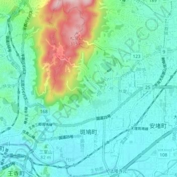
Name: Ikaruga topographic map, elevation, terrain.

Location: Ikaruga, Ikoma County, Nara Prefecture, Japan (34.59066 135.70851 34.64674 135.75681)

Average elevation: 87 m

Minimum elevation: 27 m

Maximum elevation: 310 m

Gear up for your next adventure:

🧦Outdoor Socks - Durable socks designed for hiking and outdoor sports
🧦Hiking Socks - Moisture-wicking and comfortable socks for long hikes
🧥Waterproof Jacket - Lightweight rain jackets for hiking and outdoor activities
👟Sport Hiking Sandals - Breathable footwear for water crossings and camp rest
Bushcraft Tarp - Versatile emergency shelter or gear protection

As an Amazon Associate, this site earns from qualifying purchases at no extra cost to you.