
Puntagorda topographic map
Interactive map
Click on the map to display elevation.
About this map
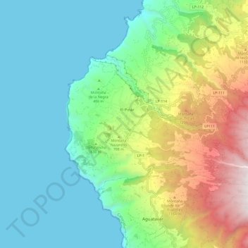
Name: Puntagorda topographic map, elevation, terrain.
Location: Puntagorda, Santa Cruz de Tenerife, Canarias, 38789, España (28.74034 -18.00723 28.79612 -17.89035)
Average elevation: 523 m
Minimum elevation: -1 m
Maximum elevation: 1,849 m